-
07599 249962
History
OgImage:
The name of the parish arose because the principal manor was held by the Abbey of Bury St Edmunds from before the Norman Conquest to the Dissolution. A story is recorded in the abbey's registers that the lord of the manor was miraculously cured of a lingering illness in 1013 by the body of St Edmund as it passed back to Bury Abbey from London. In gratitude for being cured, he gave the manor to the abbey, either then or some time later.
After the dissolution of the monasteries the manor was in the hands of Sir Brian Tuke and was included when he sold Pyrgo to King Henry VIII in 1544 although Navestock and Stapleford were both subsequently leased to George and Walter Cely, relatives of John Cely who had previously been Paler of the Park of Havering Palace at Havering-atte-Bower.
The population rose from 320 in 1801 to 507 in 1831, then fluctuated within that range until 1921 when it was 391. In the 20th century, there was a gradual increase in population due to new building in the area from the 1930s onwards. In 1951, the population was 731.
Historically Stapleford Abbotts was included in the hundred of Ongar. It formed part of the Ongar Rural District Council from 1894 until that authority was absorbed into Epping and Ongar Rural District Council in 1955. Since the local-government reorganisation of 1974, it has been part of Epping Forest District. The present civil parish retains largely the same boundaries as the parish of the mid-19th century.
The parish is mostly rural and agricultural with a scattering of farms and cottages, much of it is Metropolitan Green Belt protected land. The northern boundary of the parish is formed by the River Roding. The remainder of the parish is crossed by streams that feed into it or form the headwater of the River Rom. The terrain is hilly and 28–90 m (92–295 ft) above sea level (AOD) with most between 35 and 80 m (115 and 262 ft).[
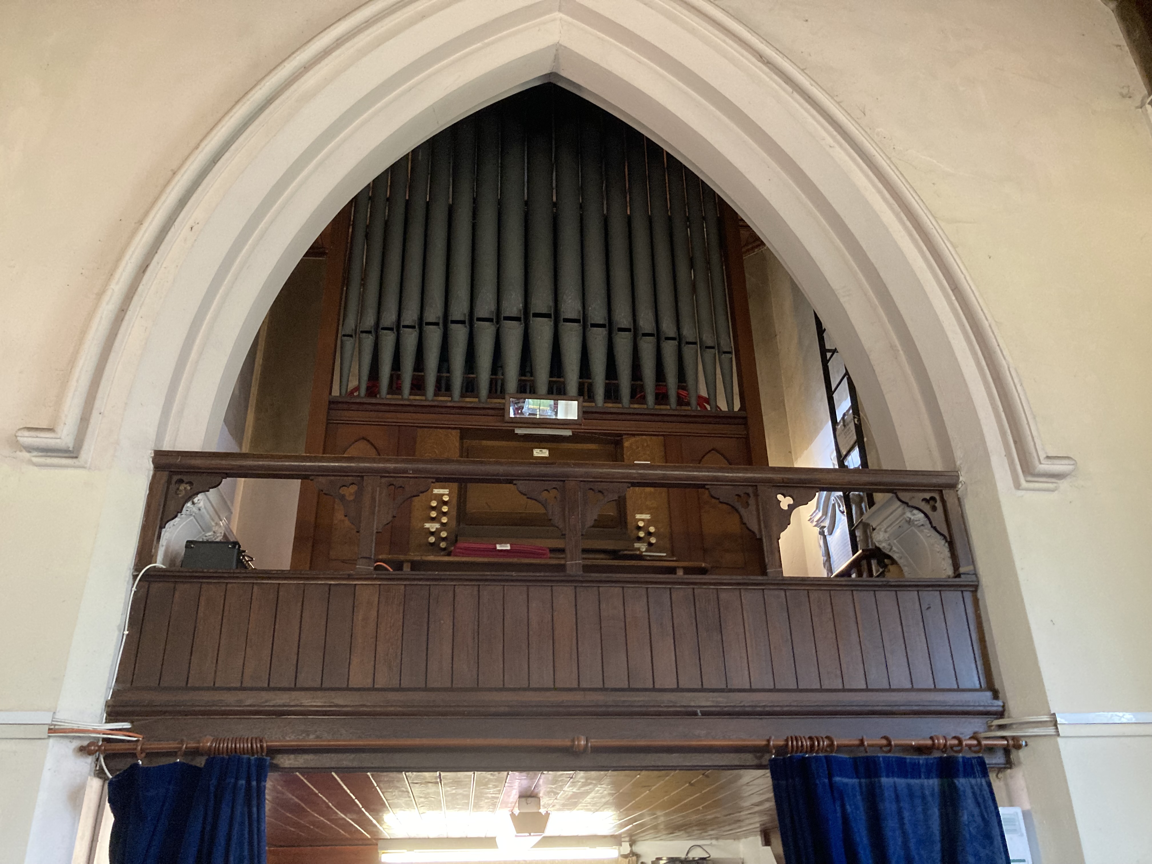
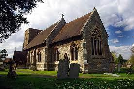
The village itself is a straggle of mostly 20th-century housing stretching for about a mile along the elevated Romford to Ongar road from the boundary with Havering-atte-Bower. The medieval church (largely rebuilt in the 19th century) is situated in a relatively isolated position a further mile away from what is now the village, reflecting the fact that it had no single nucleus until the 20th century.
Apart from the village of Stapleford Abbotts, the parish includes the hamlets of Bournebridge, Nuper's Hatch and a small part of Passingford Bridge. Two places use the village's name outside of it: Stapleford Flight Centre which provides sightseeing flights and Stapleford Abbotts Golf Course.
More Living History
Coming Soon
.jpg)